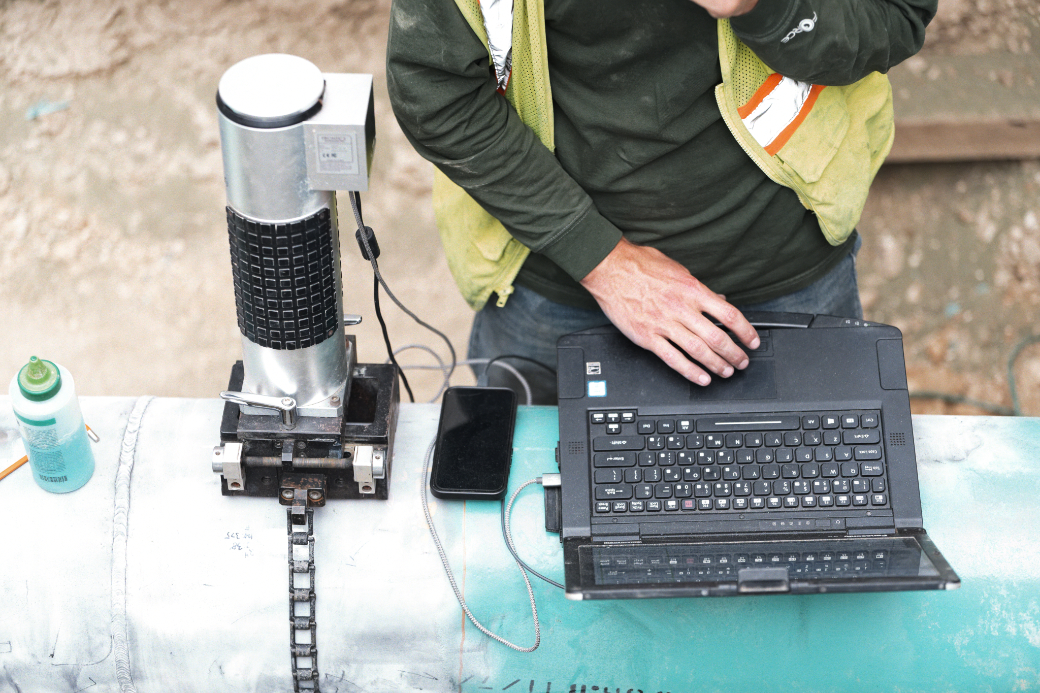
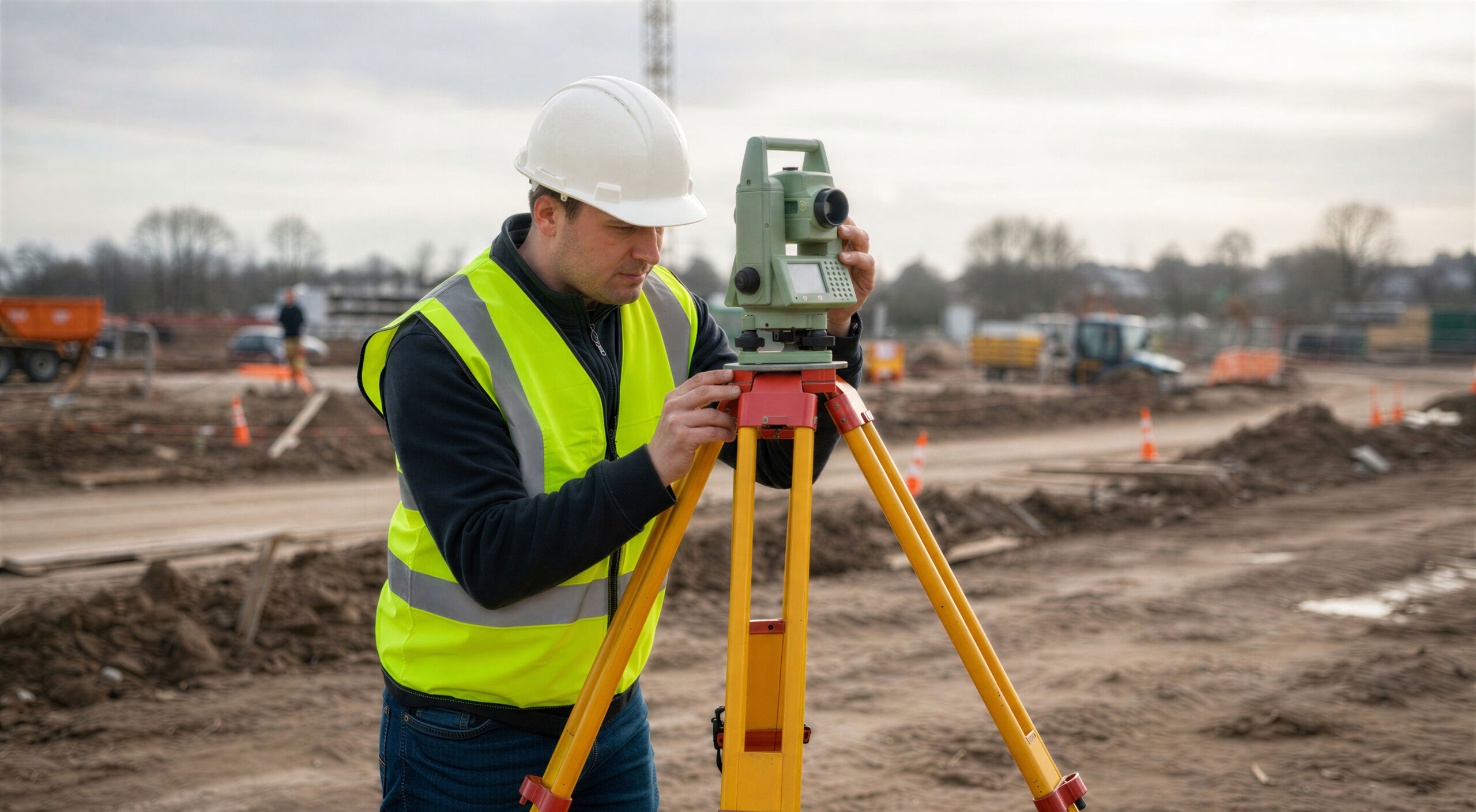
Accurately determine and mark property boundaries, corners, and lines using historical records, advanced field measurements, and modern surveying methods. These surveys help resolve property disputes and establish clear evidence of ownership.
Land Survey
The Campos EPC Land Surveying Department provides comprehensive land surveying solutions, including Professional Land Surveying, Civil Engineering Surveying, Site Plans, ALTA/NSPS Land Title Surveys, Boundary and Topographic Surveys, Construction Staking, Pre‑Design Surveys, Aerial Imagery, LiDAR and 3D Scanning, As‑Built Surveys, Location Certifications, Right‑of‑Way and Easement Surveys, and Certified Easement Exhibits. Our team of Professional Land Surveyors brings nearly 60 years of combined licensure experience.
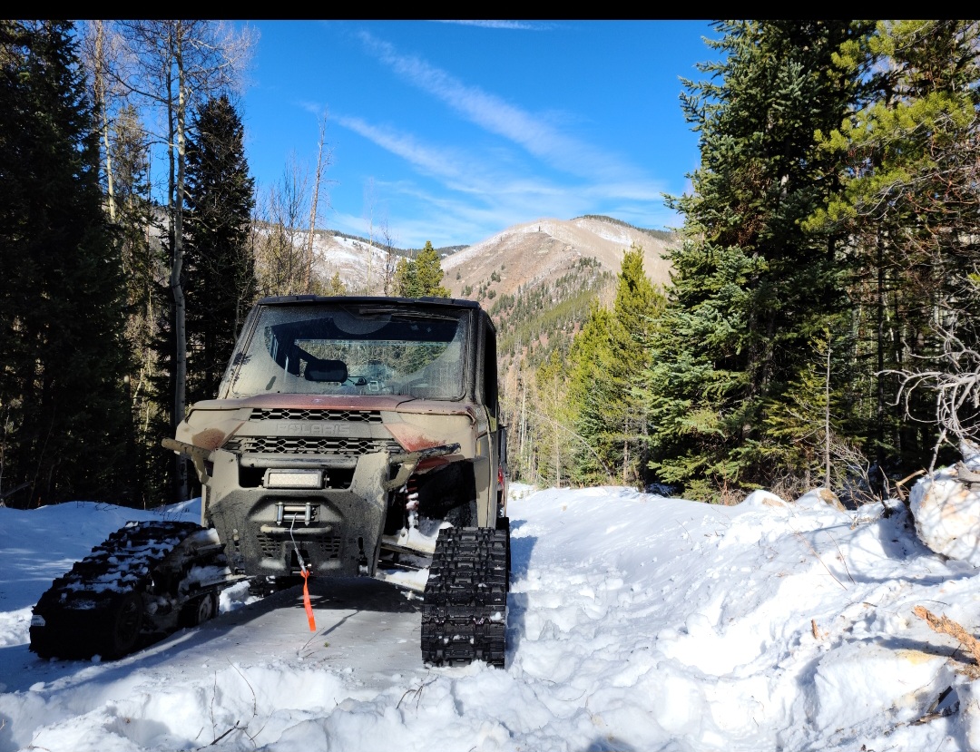
Disciplines
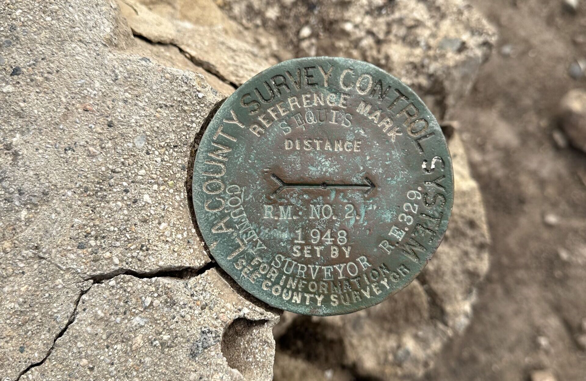
Boundary Surveys
Easement Exhibits
We provide expert review, creation, and preparation of easement exhibits with accompanying legal descriptions for official recording. Applications include utility locations, ingress/egress access, development and permitting requirements, and compensation negotiations.
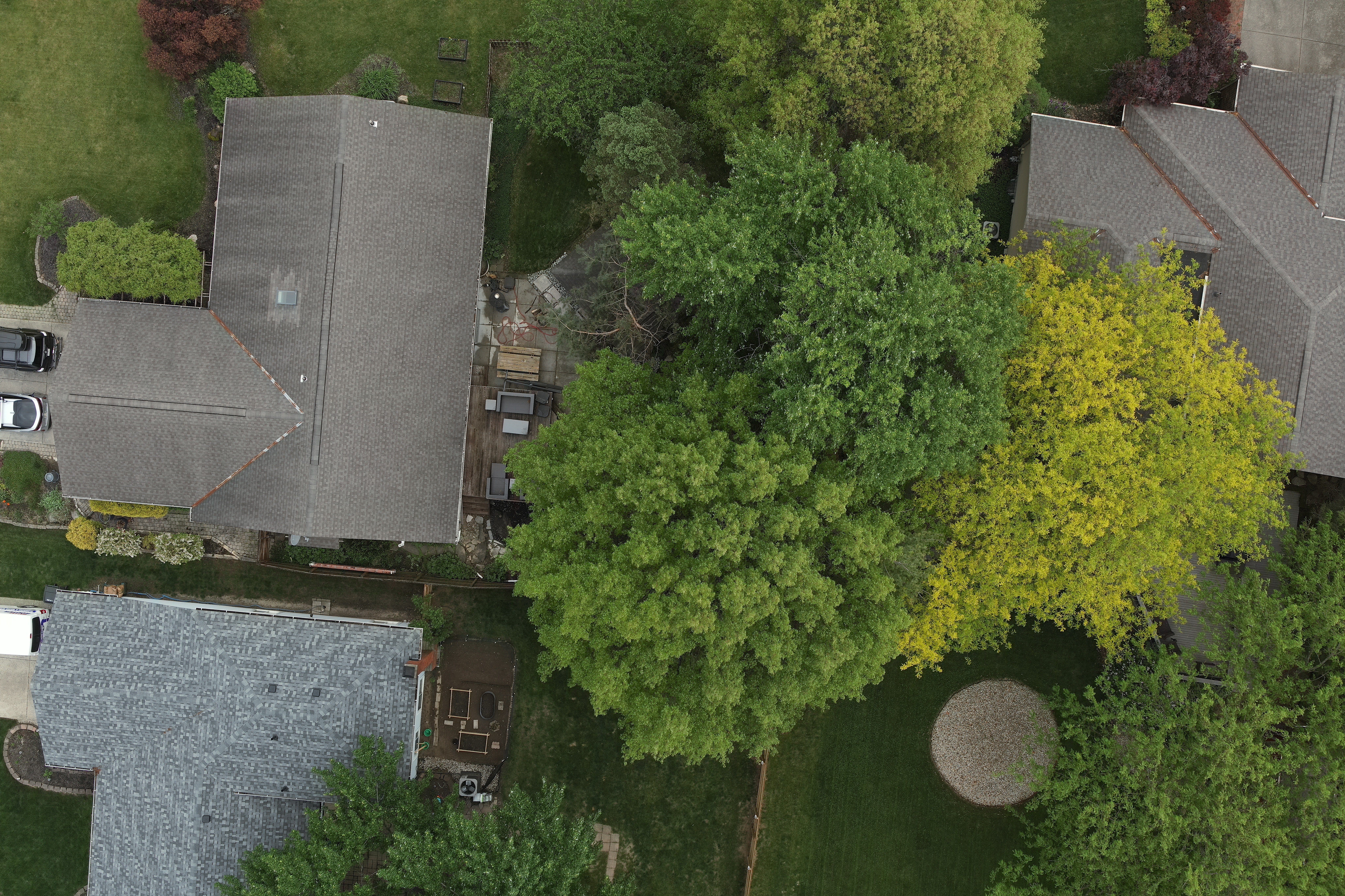
ALTA/NSPS Land Title Surveys
Deliver comprehensive surveys that meet strict national standards required for commercial real estate transactions. These surveys provide detailed information necessary for title insurance, lenders, and property owners.
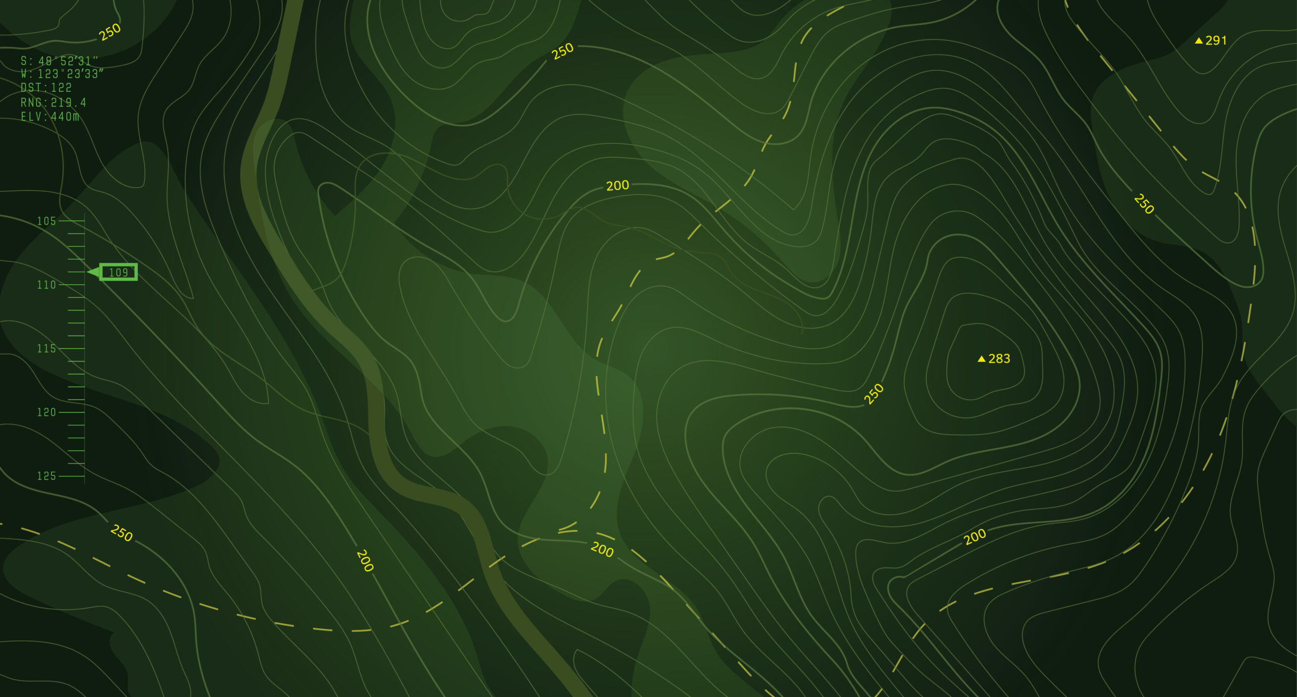
Topographic Surveys
Map natural and man‑made features—including elevation contours, buildings, utilities, and vegetation—under the direct supervision of a Licensed Professional Land Surveyor. Campos EPC utilizes the latest technology to efficiently survey projects of any size, supporting site planning, design, and development.
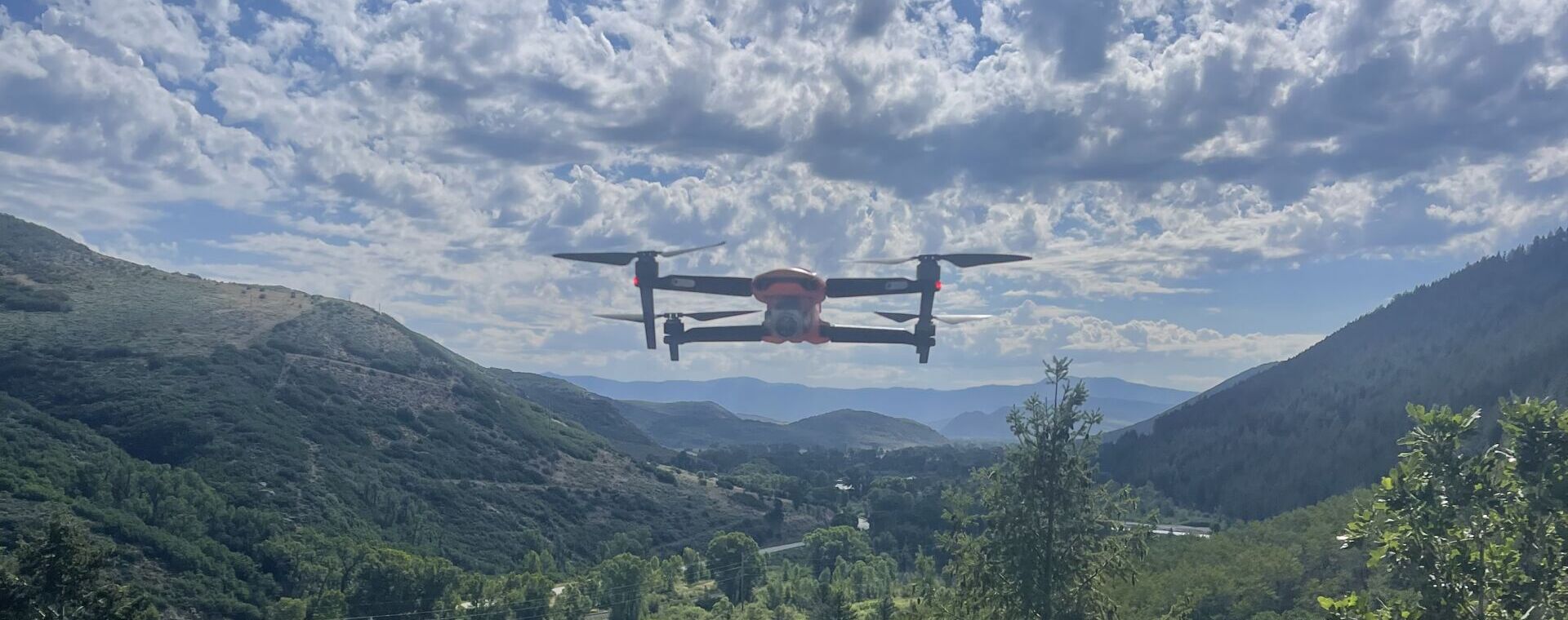
Aerial Imagery
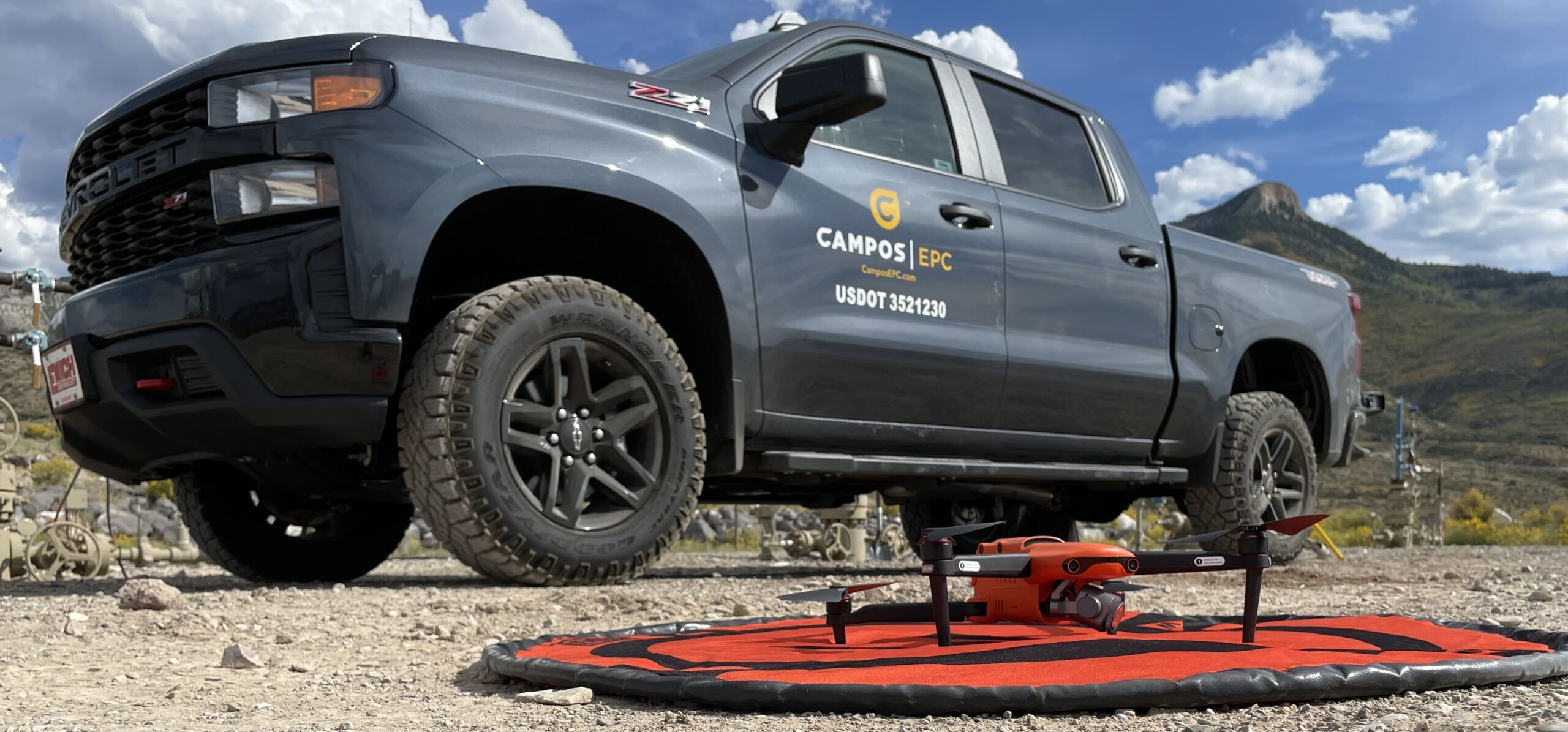
Capture high‑resolution UAV (drone) imagery using our FAA Part 107 Certified team to support mapping, analysis, and project documentation.
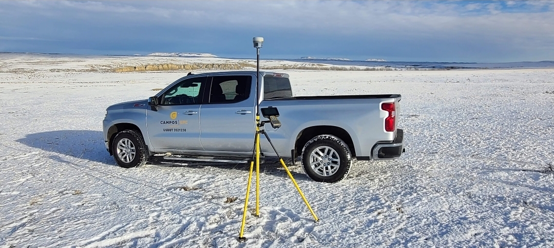
LiDAR and 3D Scanning
Produce highly accurate and detailed 3D models of existing site conditions using advanced LiDAR and 3D scanning technologies for design, visualization, and as‑built verification.
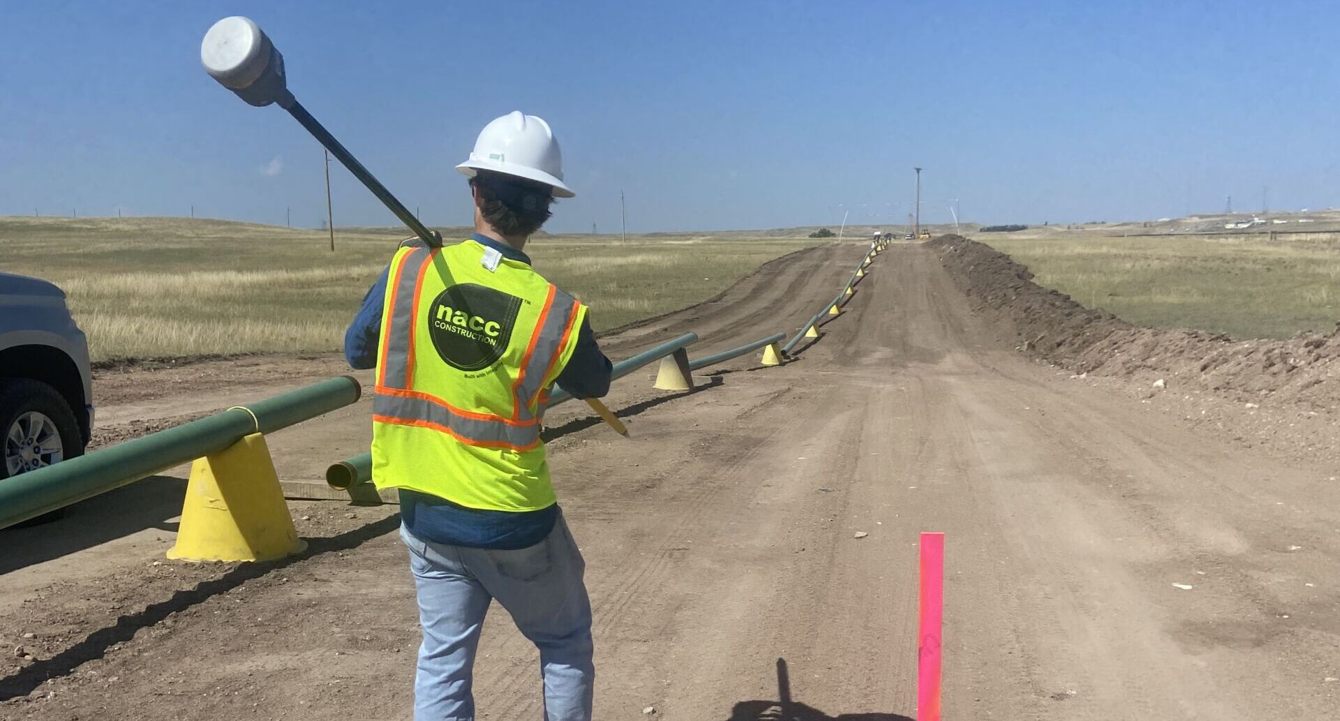
Utility Locates
Our professional team utilizes the latest utility locating devices supporting survey and GIS workflows to integrate field data to any platform.
Our mobile and field applications support real-time data collection and upload capabilities to support “Field to Office” visibility to provide the engineering and design team with the data they need to make quicker decisions.
SERVICES
- Surface Utility Engineering (SUE)
- Private Locates
- Locate/Designate
- Potholing
- Permitting
- Locate Mapping
- Exhibits and Deliverables
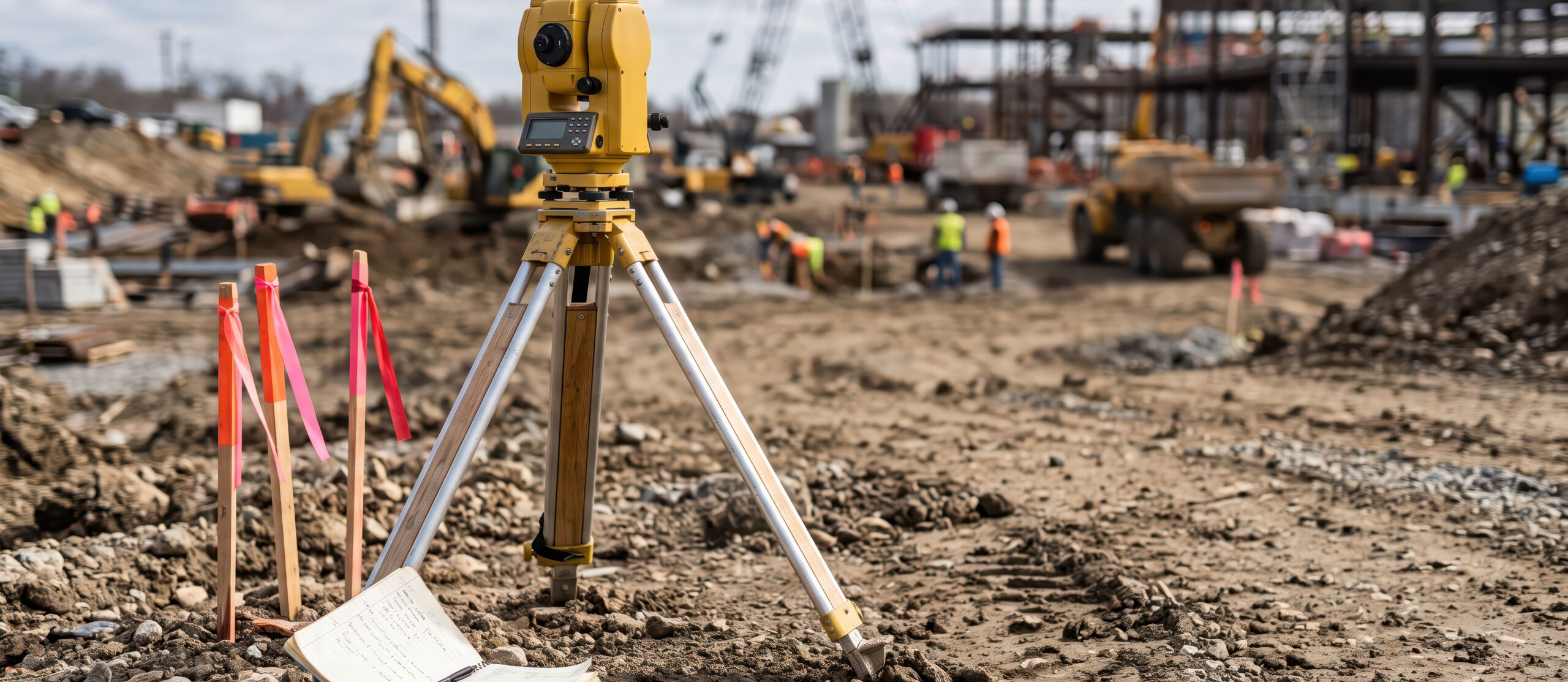
Construction Staking
Provide precise on‑site layout and markings for foundations, utilities, roads, easements, and other project components to ensure construction follows design plans accurately.
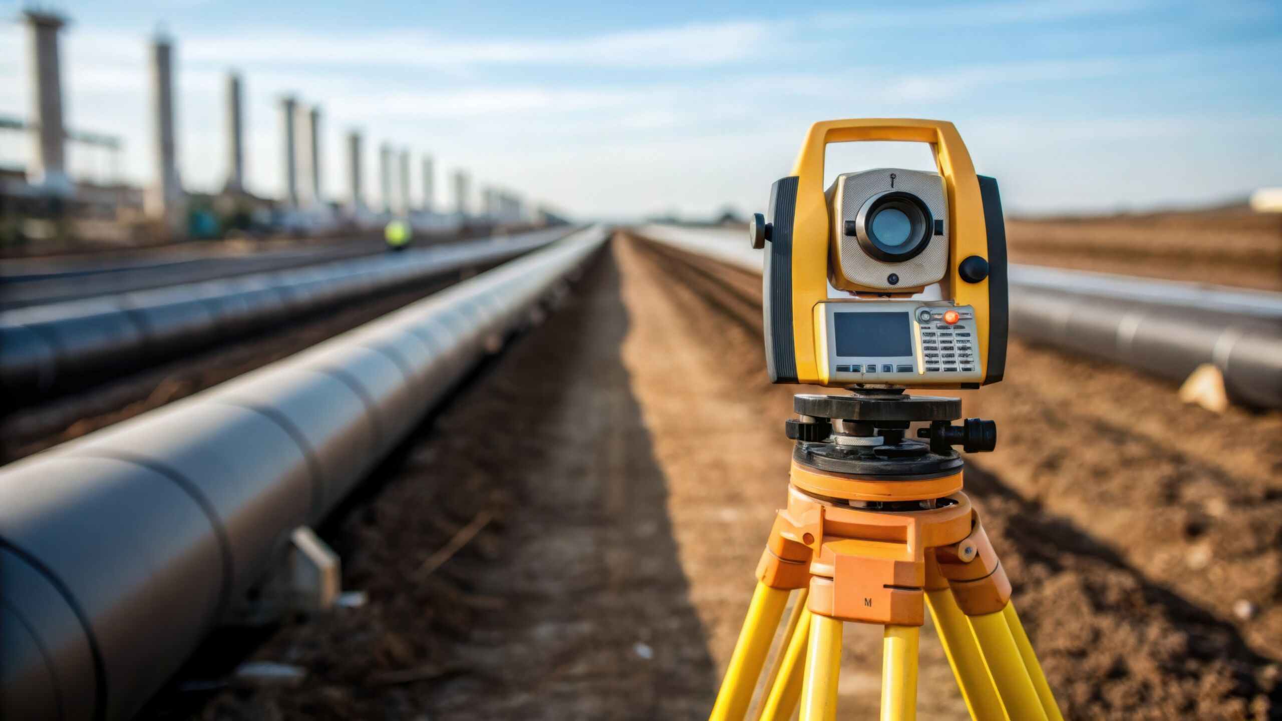
As‑Built Surveys
Document the exact location and dimensions of completed improvements and structures to verify compliance with engineering designs and meet final approval or record‑keeping requirements.
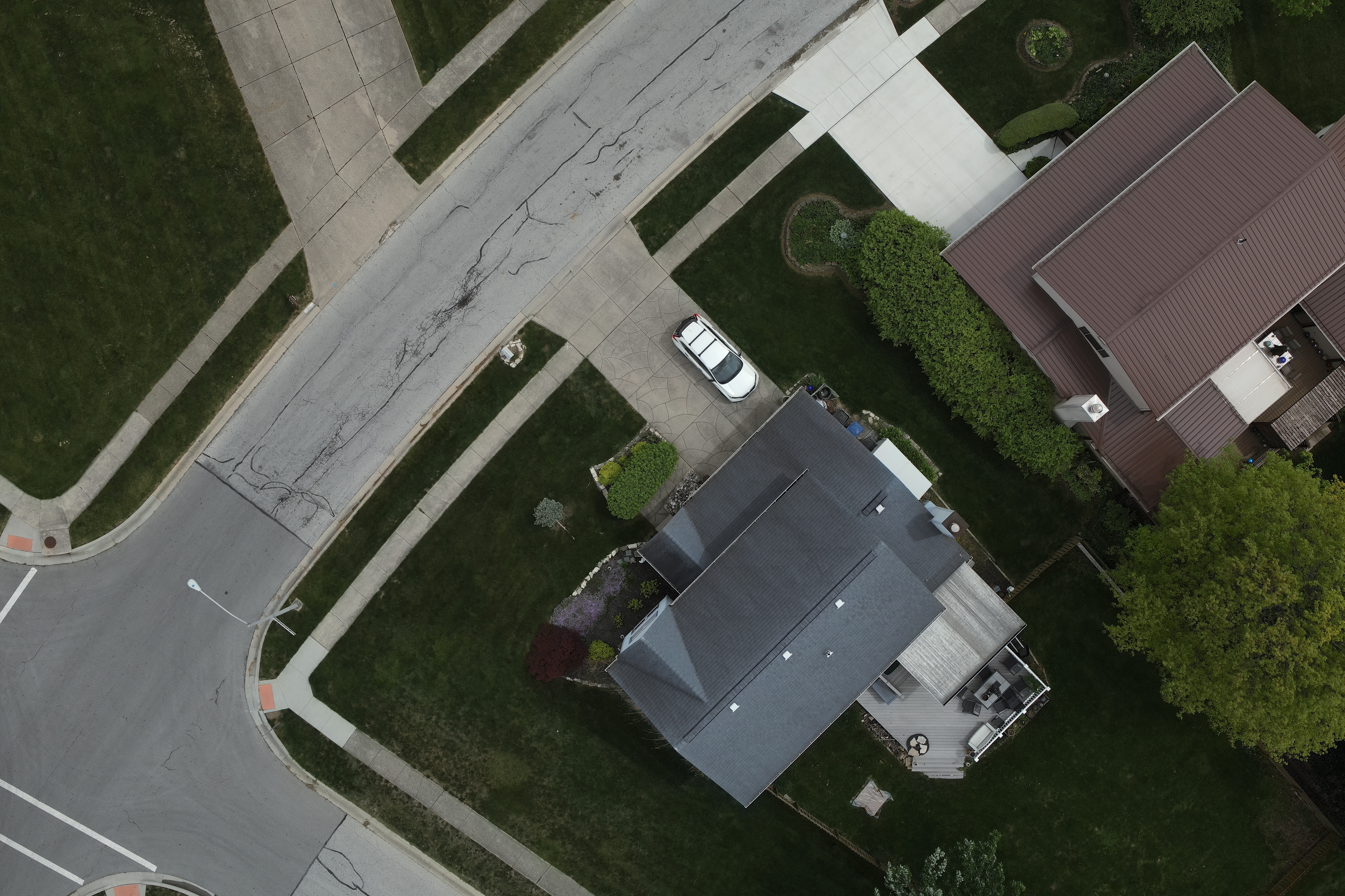
Location Surveys
Identify property boundaries, visible improvements, and site conditions to support real estate transactions, refinancing, municipal requirements, and compliant building design.
Right‑of‑Way and Easement Surveys
Map rights‑of‑way, easements, and utility corridors for infrastructure planning, legal documentation, and public or private development projects.
Bathymetric Surveying
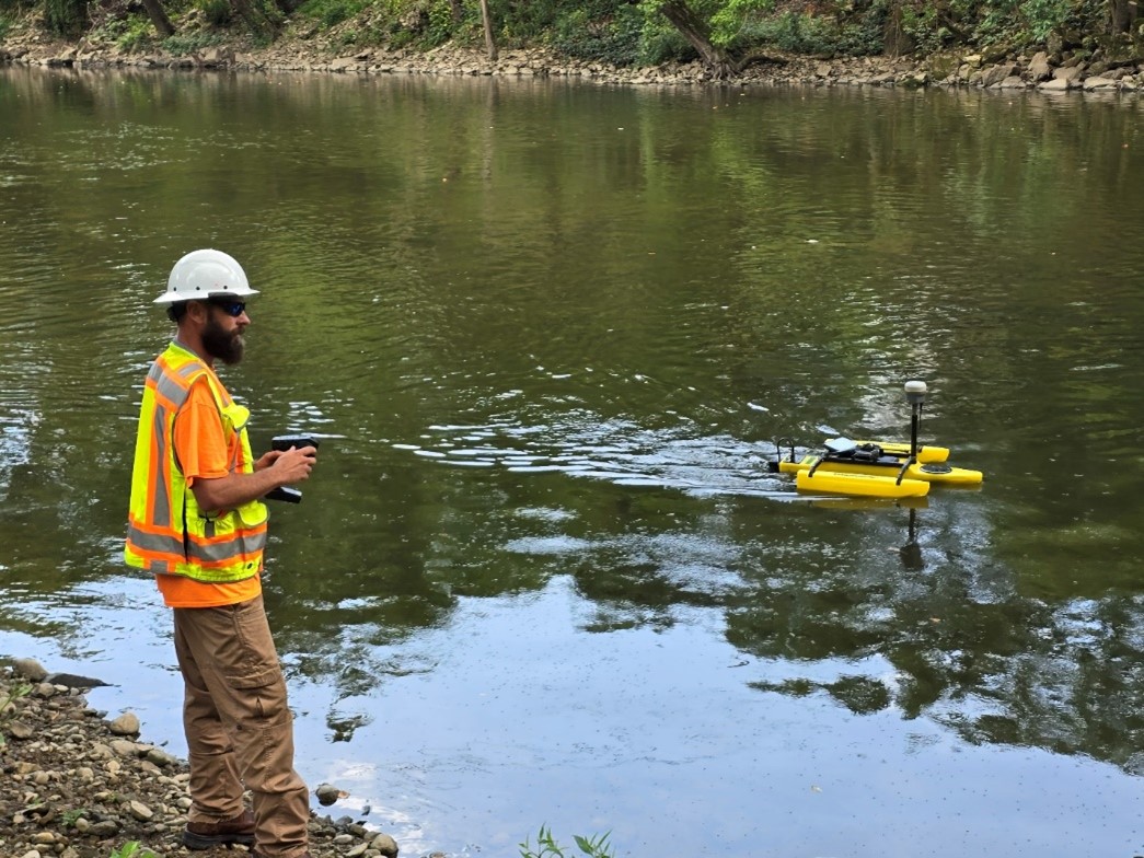
Perform underwater topographic surveys using specialized vessels equipped with GPS‑enabled sonar systems to map waterbody depths and subsurface features.
Blog


OneCampos in Action
One challenge. The right teams.
One coordinated solution.
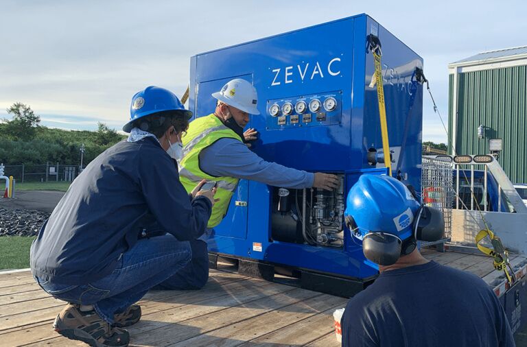
When a complex horizontal directional drill beneath Maine’s Kennebec River demanded specialized expertise, Campos EPC and Campos Fabrication came together to help deliver. See how collaboration, technical expertise and execution helped move critical energy infrastructure forward while navigating rugged terrain, sub-zero temperatures and nearly 100% rock.
Have a Similar Project in Mind?
Connect with Campos to learn how our team can support your next project.